21 November 2024
Finally some alone time
Mount Izugatake from Nishi-Agano to Shomaru station
Today I saw only 2 other people on my hike in almost 5 hours. That is more like it. The last few hikes have had far too many people.
Getting to today's hike was a bit of an expedition, with 2 train changes and over 2 hours of travel. First I changed at Ikebukuro, and then at Hanno on the Seibu line, before ending up between tunnels deep in some fog covered small mountains at Nishi-Agano.
The weather situation paid off... When I woke up it was still raining, but I was heading into the direction the rain was coming from, and by the time I got off the last train, blue sky was starting to appear.
And so, without further delay, the stats.
25,100 steps
4 hours 53 minutes
1,092m vertical ascent
1,589 calories burned
13.8km
One last note before the pics, the alltrails map for this hike is outdated, parts of the trail are re-routed due to logging, and a lot of the alltrails route follows a logging track. If you stick to the hiking trail signs it is quite a bit longer than the suggested distance on alltrails. And then part of the map is now a landslide, so you need to know what you are doing.
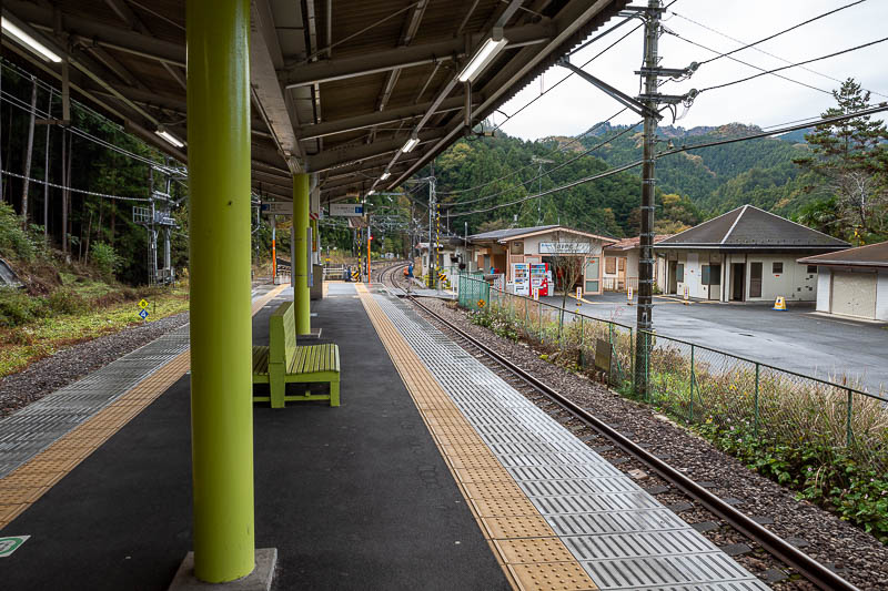
Nishi-Agano station. A couple of other hikers got off but I was in front of them. They were old and slow.
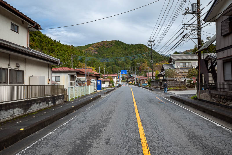
The streets in the local area are quite nice. There is no convenience store, but there are vending machines. Buy whatever you need to eat before you get to Nishi-Agano. There is actually a small shop inside Hanno station where you have to transfer if you have time.
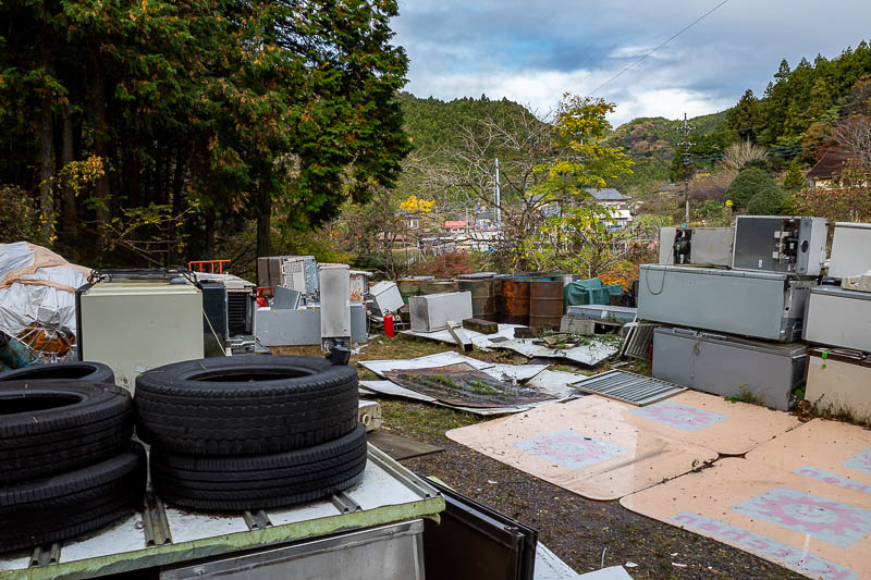
Turn right at the rubbish pile...
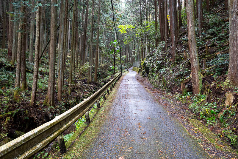
Only about the first km was a road today, but a nice road. Having said that there are a couple of roads to cross on the actual hike.
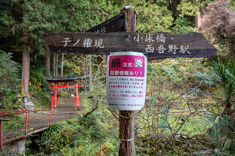
Today's bear warning sign, and a small shrine. The path to take is not the path to that shrine.
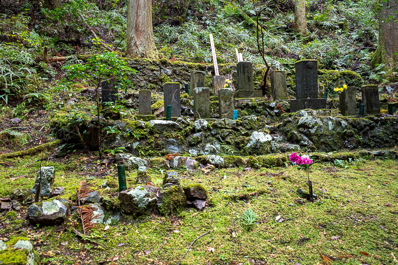
Graves of former hikers who succumbed to bears.
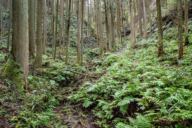
The lower parts of today's hike were ferny and wet.
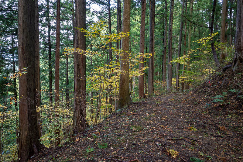
Actually the first third of the hike was a very good trail like this. There were some recent signs for a trail running marathon that had used this route.
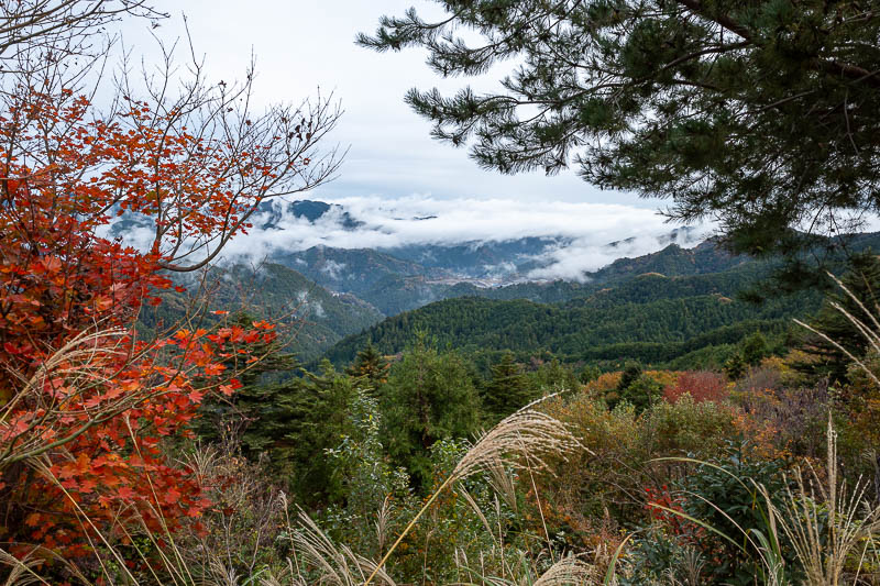
Here is the view just before the main shrine, still some fog around.
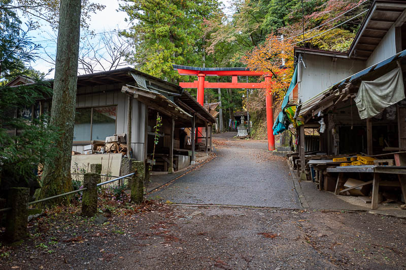
This is where you walk along the road to go through the shrine, there are some old produce stalls here but it looks like they have not been used for many years.
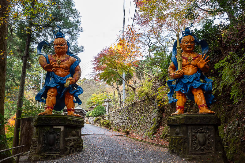
Oh hello there.
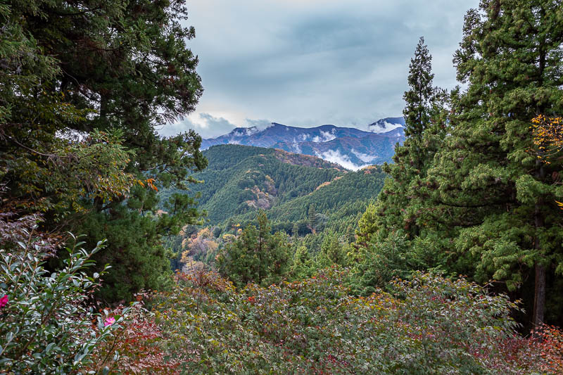
I guess I am heading in that direction.
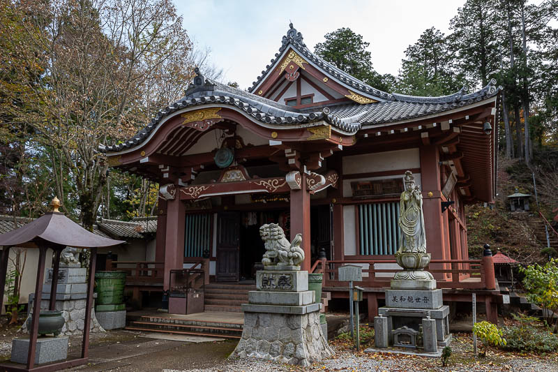
The actual shrine here is fairly subdued.
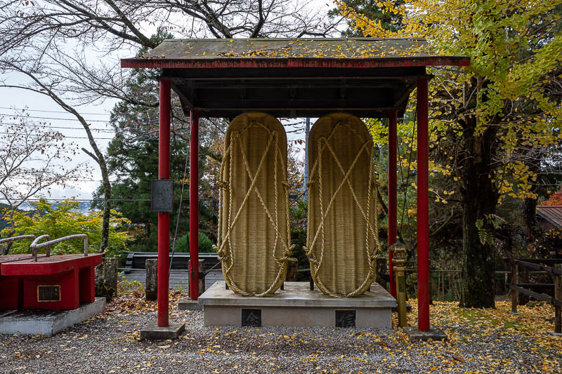
It appears to be a shrine for pairs of thongs (flip flops for the parts of the world that consider thongs to be ass crack floss).
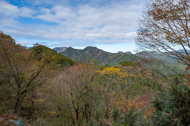
Probably the best view shot of the whole day. There were really not too many opportunities for a view.
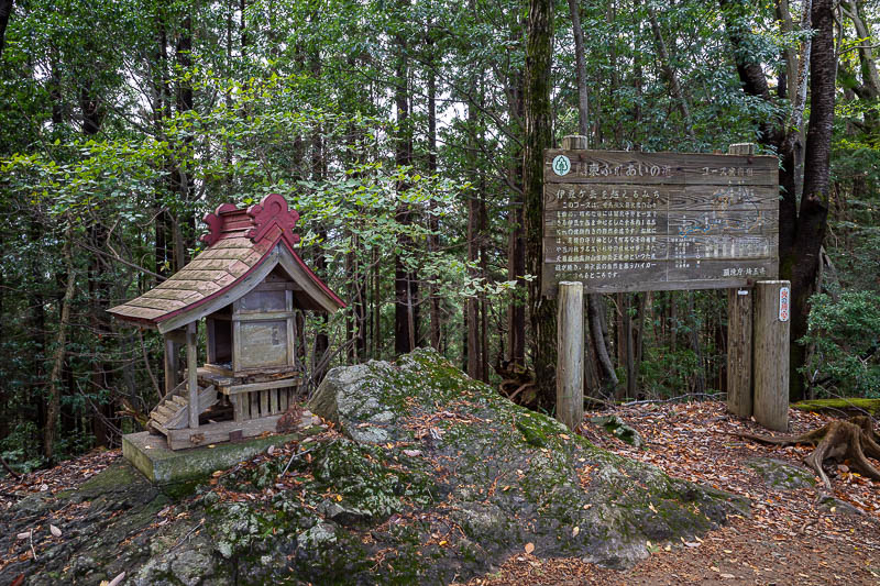
OK... after the shrine, the trail on the map is GONE. You will end up at a landslide. Back track, follow the other trail, there is a temporary way up onto the ridge. You need to find the location in this photo to know you are back on track. I messed around for at least 30 minutes going into dangerous locations where the trail had vanished.
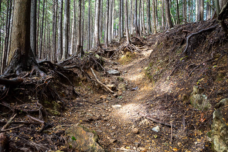
Now for a lot of tree roots.
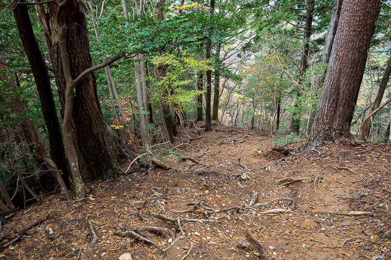
As always, despite this being very steep, you cannot photograph steep.
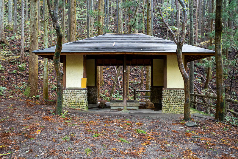
This is the next spot, between 2 minor peaks, where I crossed a road. There is a little shelter here, but there is no bus or parking that I could see.
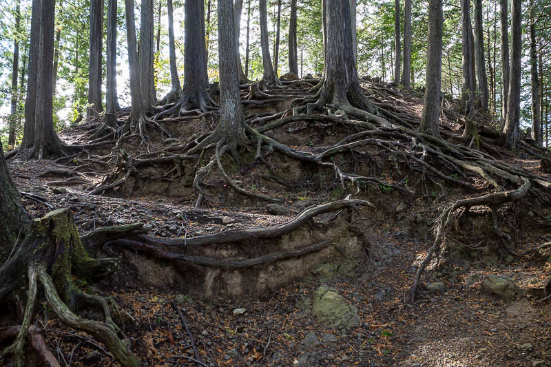
Serious roots.
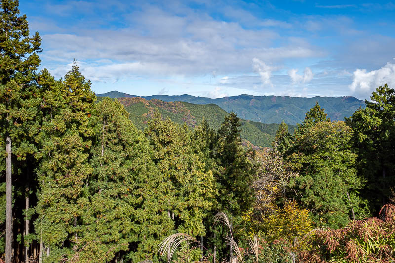
A bit more view. This is an area I have not really been to before, it is a bit further north of where I normally go.
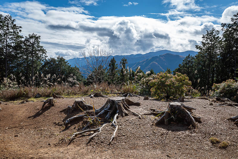
Nice cloud looking into the sun.
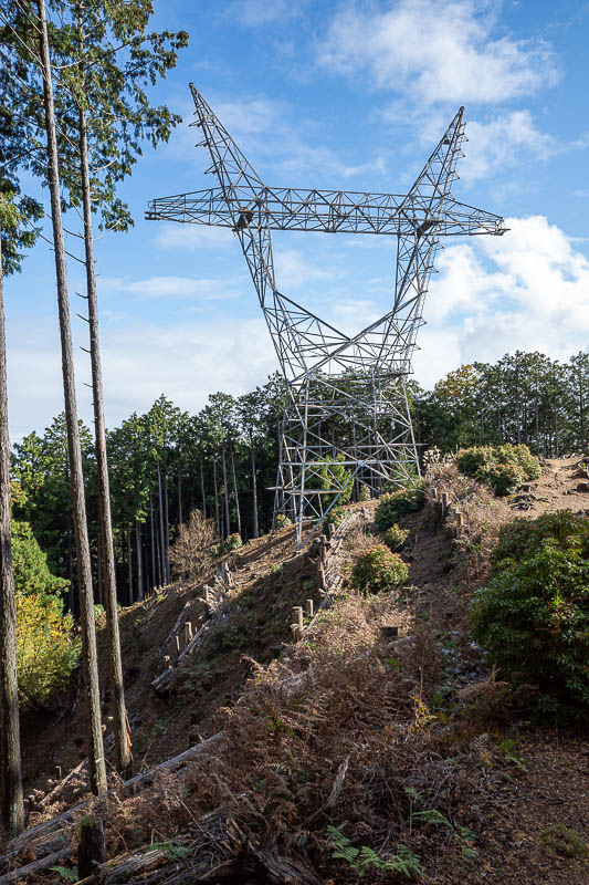
There is not a lot of power infrastructure in this area, but here is one giant power pole, but it has no cables. Presumably someone took down the cables and sold them at the scrapyard.
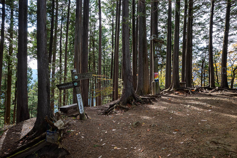
There are a few different ways to go in this area, a map (despite my earlier rant) is probably required to get back to the right station.
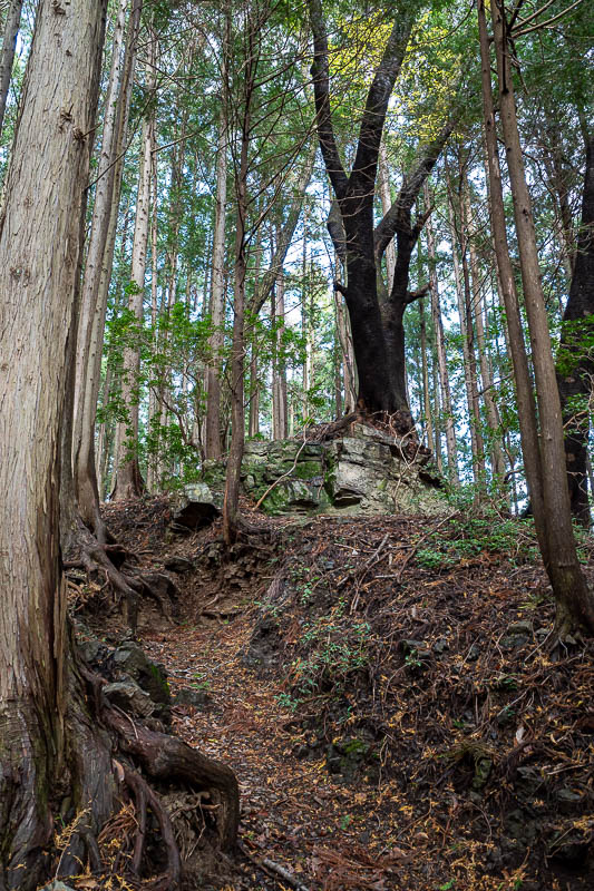
Now to start the ascent to the main peaks for the day.
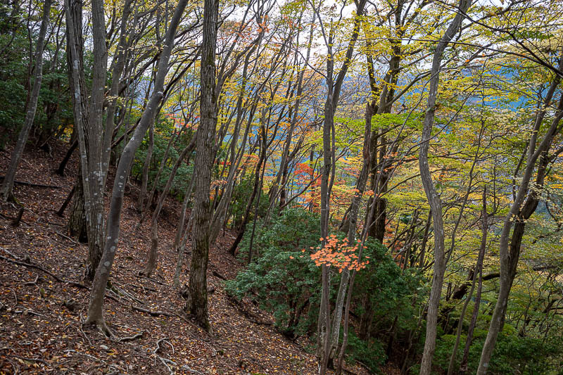
Some colour! Finally. Not much colour on today's hike.
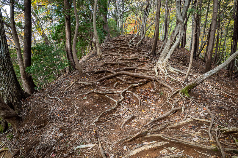
More great tree roots.
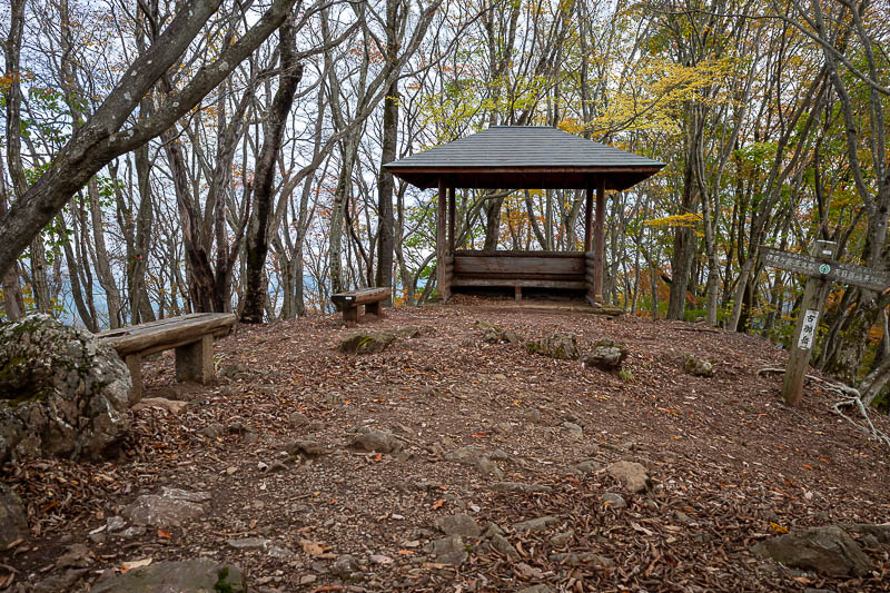
I thought this was the main peak of the day, no view, but it is not, still one more down and up again for this hike.
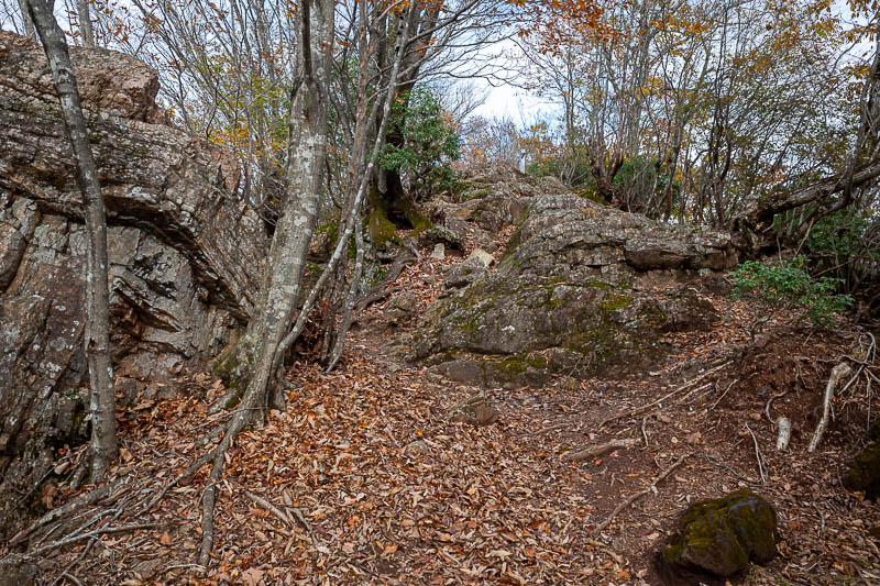
Finally approaching the main peak.
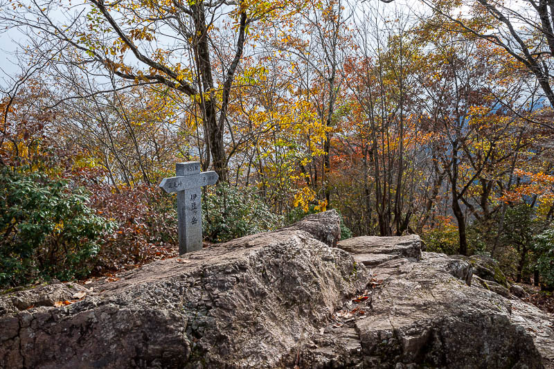
And here it is, with no view, Izugatake.
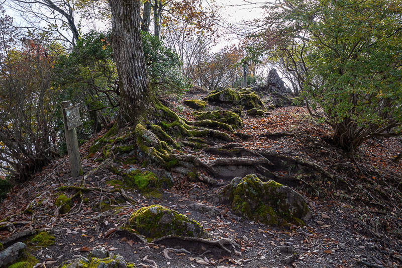
Some nice moss.
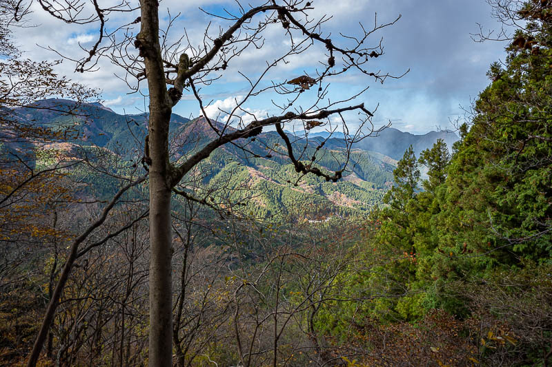
Best I can do for a view shot near the summit. The first part of the descent was very perilous. A lot of rope, I got a bit of minor rope burn.
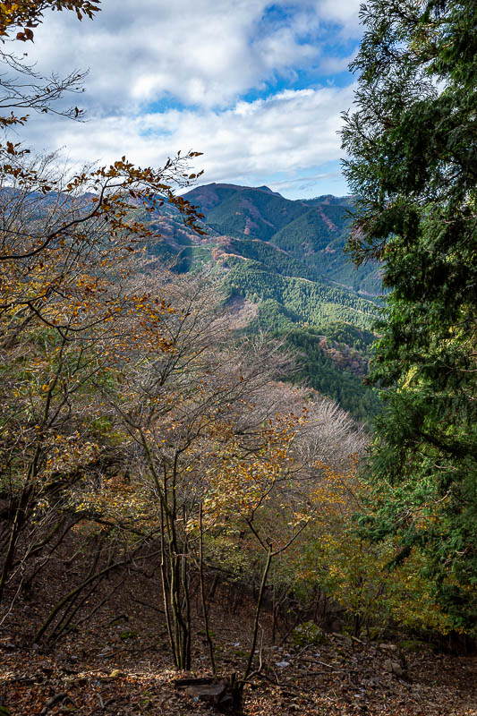
A tiny bit more view.
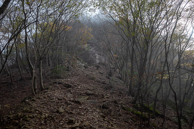
The fog came back. Nice.
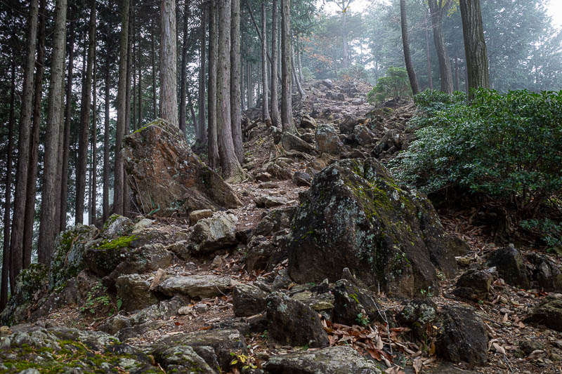
I descended back below the fog. Slow going due to rocks and steepness.
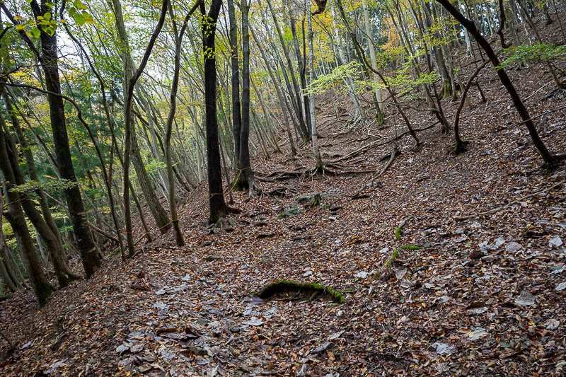
A little bit more colour as I head back into the woods.
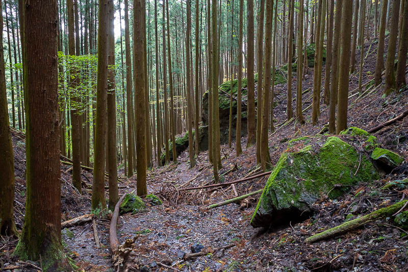
More moss and areas that will be logged in the future.
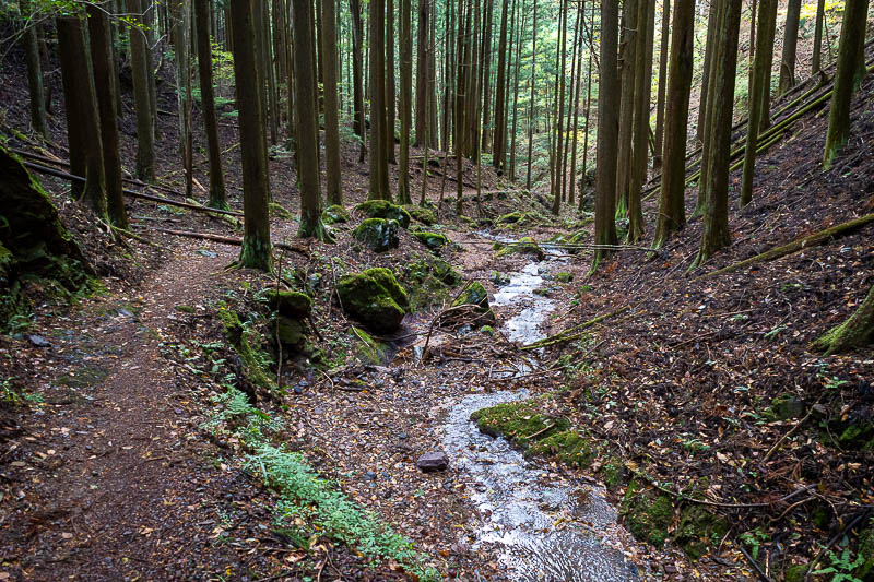
After a couple more paths merged together, the path got quite a bit more developed for the last couple of kilometres.
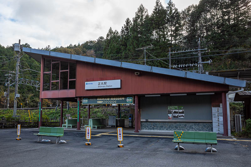
Shomaru station. I literally ran at full speed the 1.8km from the end of the trail to the station when I checked my phone and saw that if I ran as fast as I could, I would just make a train. If I missed it, 45 minute wait. I made it with seconds to spare... just enough time to take this photo.
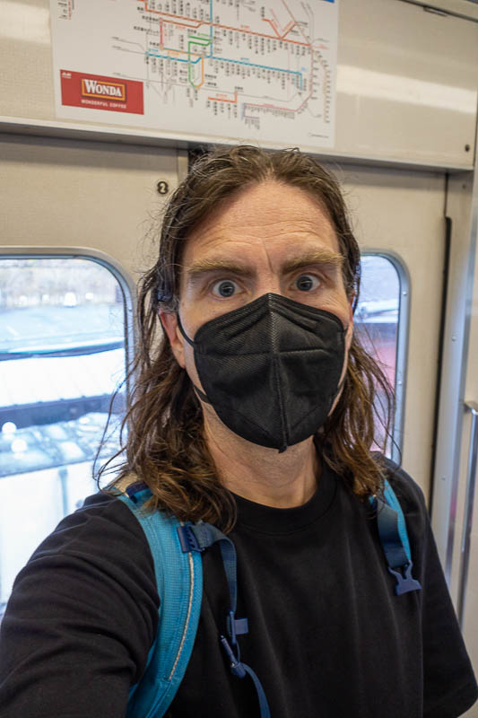
I intended to take a stance shot on the platform, but there was no time, so the best I can do is a selfie on the train, much to the amusement of the elderly people onboard.